Garey Park – A lot to Map!
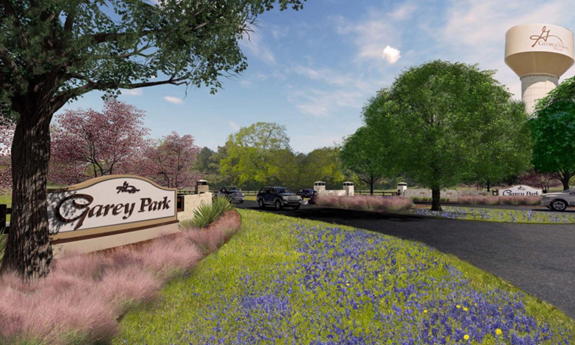
Garey Park is the biggest thing to hit the City of Georgetown in sometime. And when I say big, I really do mean big! The park is a tremendous 525 acres in size, making it one of the biggest city parks around. The park is filled with a cornucopia of amenities — that really does offer something for everyone!
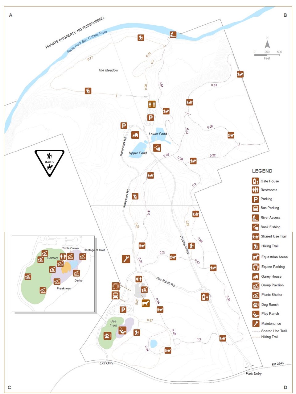
One item that every visitor to the site will find informative (and time saving) is a map of Garey Park. Again, this is not your run-of-the-mill city park where one can see from one property boundary to property boundary. The place is approaching one square mile in size. You really could get lost. A Garey Park map is a must.
Garey Park Map
Below is a map that depicts where everything will be set up for the Garey Park grand opening celebration that takes place on Saturday, June 9, 2018. The park opens at 9:00 am that day, and since it is the first day the park will be open, expect a crowd! It should be fun though!
Garey Park – Putting G-Town on the Map
Whether you are a hiker, playground enthusiast, horseback rider, day tripper, dog lover, or just someone looking to take in some rays, Garey Park is a place you will want to spend some time soon as well as over the Summer. Find out more about how Garey Park happened and why it’s another local asset that is putting Georgetown on the map, so to speak.
We found the map handy before we even got to the park. Thanks for the info.
Thanks for the printable map of the park. We will put it use later today!